Worklist Geo Points
worklist.geo.points
worklist.geo.points data queries returns geolocation data from worklist records.
type:worklist.geo.points
series.points:(
  of:org
  point:coordinates
  fields:[name,coordinates]
  query:(coordinates:!null)
)
format:geojson
series.*
Each series.* should provide:
of:
The of: key specifies the type of records to search.
of:ticketspoint:
The point: key specifies the record field containing latitude/longitude data.
point:coordinatesfields:
The fields: key specifies the record fields to include with each plotted point.
point:coordinatesquery:
The query: key specifies a search query for filtering records.
query:(region:Europe)query.required:
The query.required: key specifies a mandatory search query for filtering records. This should be protected from user-entered filters.
query.required:(ids:[1,2,3])format:
The results can be returned in various formats:
-
geopoints (default) returns a list of latitude/longitude points.
-
table returns tabular output, suitable for display with the 'Chart: Table' visualization widget.
Examples
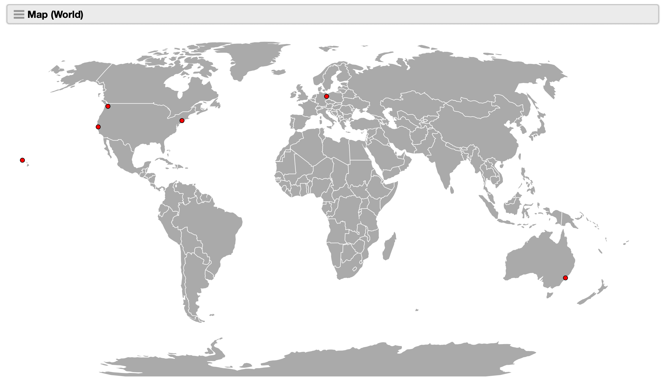
Plot organizations based on a geolocation custom field.
type:worklist.geo.points
series.points:(
  of:org
  point:coordinates
  fields:[name,coordinates]
  query:(coordinates:!null)
)
format:geojson